Beauty On The Escarpment
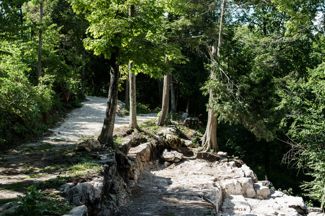
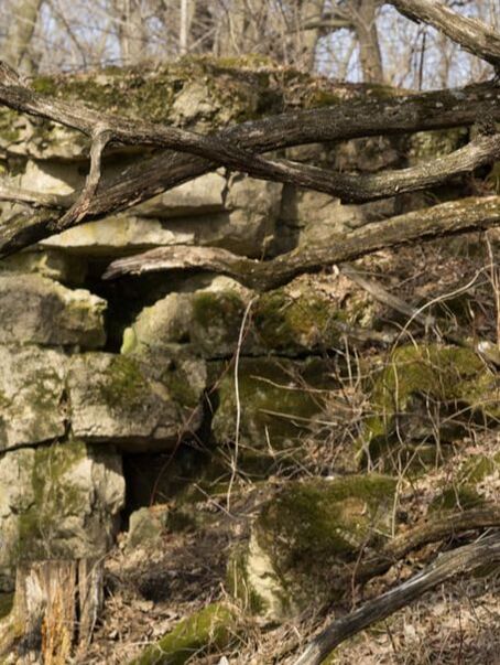
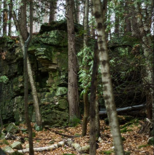
You may have already hiked over the beauty that is the Niagara Escarpment. A wide swath of this ancient and natural rock formation runs northeast 230 miles through Wisconsin, beginning in the Southern Kettle Moraine Forest, up through Door County. It then travels on through Michigan's Upper Peninsula, and extends east, through part of Canada, and all the way to Niagara Falls (yes, that Niagara Falls).
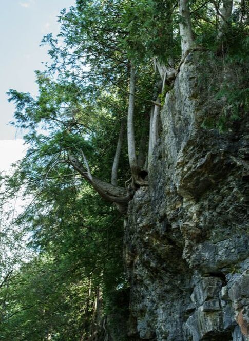
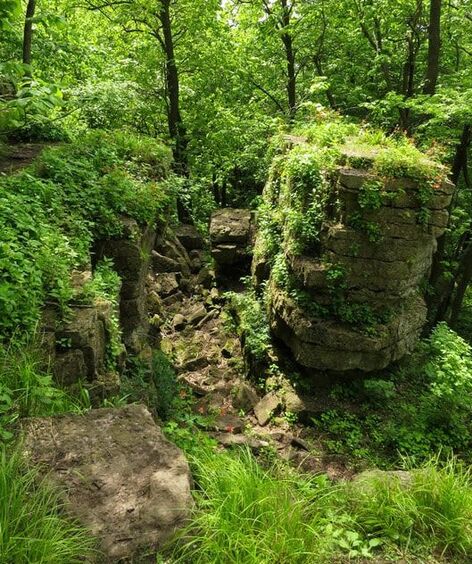
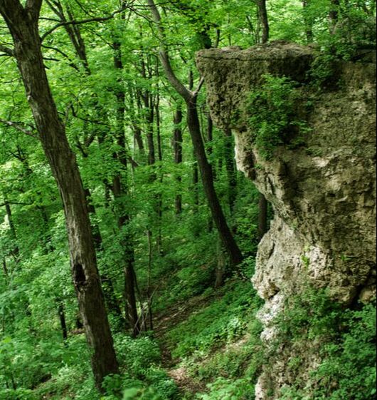
The "Ledge" as it is often called, is over 1,000 miles of geologic wonder, that began forming over 430 million years ago. Over the course of time, and through an ice age 12,000 years ago, the natural rock, cliffs, ledges, caves, and crevices were revealed. Not all of the escarpment is visible above ground. A large portion of it remains beneath the surface, and under the Great Lakes. But the portions of it that reside above ground are an incredible sight to see.
The "Ledge" as it is often called, is over 1,000 miles of geologic wonder, that began forming over 430 million years ago. Over the course of time, and through an ice age 12,000 years ago, the natural rock, cliffs, ledges, caves, and crevices were revealed. Not all of the escarpment is visible above ground. A large portion of it remains beneath the surface, and under the Great Lakes. But the portions of it that reside above ground are an incredible sight to see.
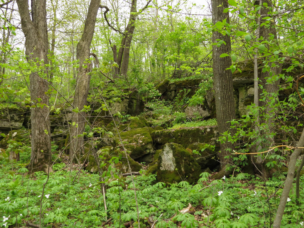
To experience the escarpment is to connect to the ancient history of the land. To the wildlife, cultures and indigenous people that lived here long before us. To preserve the cliffs and crags of the escarpment is to preserve, as well, the bogs, meadows, sandy beaches and rocky shores that follow along its corridor.
To experience its beauty one does not have to go far. There are several natural spaces within an hour or so of Milwaukee. And several more within a 2-3 hour drive of the city. Some are more dramatic than others, but they all, in my opinion, are worth the journey.
If you're interested in learning more about the Niagara Escarpment, I encourage you to check out the links provided at the bottom of this page. To experience it yourself, check out the 13 profiles listed below, and visit their detailed listings and photo galleries here on the website.
|
LEDGE VIEW NATURE CENTER - Chilton (Calumet County)
Ledge View is a 105-acre nature park and education center that features over 3 miles of walking trails, some of which pass along the rocky outcrops of part of the Niagara Escarpment. There are actually caves at Ledge View Nature Center that are home to bats during the colder months of the year. Come summer, however, the bats leave the caves and roost in the woods and trees where they breed and raise their young until fall arrives. During these months you can actually take a guided tour of the caves. Other features here are an arboretum, the nature center with several educational exhibits, and a 60-foot-tall observation tower. Location: W2348 Short Road, Chilton, WI (Calumet County) |
|
BELLE REYNOLDS NATURE TRAIL - Oakfield (Fond du Lac County)
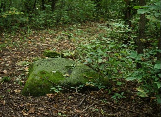
The Belle Reynolds Nature Trail is a community based project going back to December, 2002; and serves as a school forest for the Oakfield School District. Though it isn't a long trail, the surrounding forest is charmingly scenic. The trail is basically a loop, with a few short offshoots, and exit points that abut private residential properties. It resides on part of the Niagara Escarpment, and is dotted with large rocks along the trail. No ledges to speak of, however. More evidence of those can be found in the neighboring Oakfield Ledge State Natural Areas, and at Ledge County Park in Horicon. Location: 330/340 Oak Street (behind the Oakfield water tower), Oakfield, WI (Fond du Lac County) |
|
KETTLE MORAINE LOW PRAIRIE/BRADY'S ROCKS - Eagle (Waukesha County)
Kettle Moraine Low Prairie Natural Area is 250 acres that include a sedge meadow, wet-mesic prairie, and native and wild plants such as blue-joint grass, valerian, and Ohio goldenrod. It is part of the Scuppernong River Habitat area in the Southern Kettle Moraine Forest, and is home to many different birds and wildlife. There is a boardwalk curving through a portion of the trail, and another boardwalk that leads to the trail to Brady's Rocks south of the prairie. Brady's Rocks are the first exposed portion of the Niagara Escarpment that begins its journey northeast from here. This expanse of 8 foot high rocks are named for Irish immigrants Michael and Kathleen Brady who settled here in 1855. Once you reach the top of the hill above Brady's Rocks you can follow the trail back north, across more prairie, towards the parking lot. Location: Stark Road, Eagle, WI (Waukesha County) Directions: From the intersection of State Hwy 67 and 59 in Eagle, go north on Hwy 67 for 2.1 miles to a gated access lane leading west. There is a small parking lot. |
|
OAKFIELD LEDGE STATE NATURAL AREA - Oakfield (Fond du Lac County)
The Oakfield Ledge (West) is located along Horicon Marsh, in the Village of Oakfield, where the hard, erosion resistant rock forms prominent cliffs and ledges about 40' high. As the path led us further in the ledges were adorned with trees - Oak, Basswood, Sugar Maple, Slippery Elm, and Mountain Maple, to name a few. Plants and wildflowers sprung up along the walking paths of the ledge, and in the crevices between split parts of rock. Walking along the edges in summertime provides a lush and ancient view. The outcroppings split apart from the base of the ledges and reveal steep ravines with climbing vines, mosses, and ferns. So much green! So much natural history in one spot! The trail on the East section is more of a deer trail, making its way through tall grasses, woodlands (where you start to see more of the rock formations), and then head in to an open prairie. If we are reading the maps right, if we follow along the trail and stay close to the woodlands, we will eventually find the open ledges. A hike for another time. However, the East was promising for bird watching. We saw lots of flycatchers, and expect this is a great birding spot during migration season. East Location: Approximately 399 Oak Street Oakfield, WI (Fond du Lac County) Many web sources will tell you the address is 322 Deer Trail Lane, Oakfield (this is not correct, that is a house) West Location: The parking lot is on Breakneck Road, just west of Center Line Road, Oakfield, WI (Fond du Lac County) |
|
|
HIGH CLIFF STATE PARK - Sherwood (Calumet County)
High Cliff State Park was officially opened in 1957, but its history goes back much further. With stunning views of Lake Winnebago, the cliffs of the park were formed by the settling and hardening of limy ooze at the bottom of the Silurian Sea, going back over 400 million years. The cliffs, often called "the ledge" are part of the Niagara Escarpment. On our first visit we walked the Lime Kiln Trail. This hilly trail starts with a descent down wooden stairs, then climbs down over rocks and ledge. The hills are often rocky and steep, but the lush green surroundings are captivating. Definitely wear good hiking shoes. You'll need them. In addition to the escarpment, there is an ancient history of Native American effigy mounds, and a limestone quarry. Out of 30 sacred effigy mounds, nine remain in High Cliff State Park. You can view these along the Indian Mounds Trail on the upper section of the park. The first mound, of a large panther, is about 285 feet in length! Signage along the trail defines the shapes of the mounds. Location: N7630 State Park Road, Sherwood, WI (Calumet County) |
|
LEDGE COUNTY PARK - Horicon (Dodge County)
Ledge County Park is 82 acres, and lies along the Niagara Escarpment. This natural rock ledge divides the park into upper and lower areas, and, from the upper ledge, provides stunning views of the not too distant Horicon Marsh. Views of the beautiful area can be seen from both the upper and lower ledges. The ledges themselves, are amazing rock formations, and, on our first spring visit, were incredibly lush with trees, plants, and vegetation. I was in awe of the ferns, mosses, and Wild Columbine, that adorned the cavernous rock. The ledge trails are quite rocky, and a bit tricky at times, so good hiking shoes are a must. The upper-most scenic lookout has its own parking lot, and a new all-accessible boardwalk and deck for taking in the view. Three other hiking trails make their way through woodlands, and circle back to the campground area. Location: N7403 Park Road, Horicon, WI (Dodge County) |
|
CHERNEY MARIBEL CAVES COUNTY PARK - Maribel (Manitowoc County)
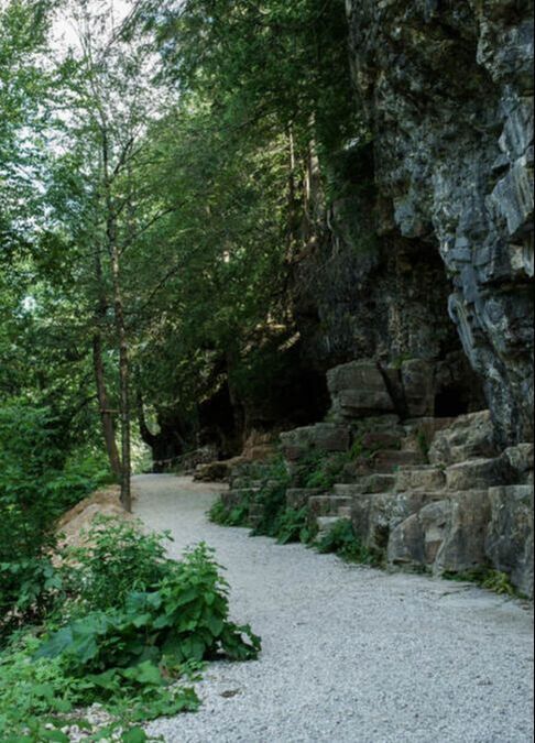
Cherney Maribel Caves County Park is 75 acres along the West Twin River, north of the village of Maribel. Hiking trails traverse woodland terrain, as well as along the ledges and ridges of multiple naturally formed caves and rock formations, and along the West Twin River, culminating in a stunning view of the spring fed waterfall that empties into the river. These majestic rock formations are some of the most viewable portions of the Escarpment that I have seen in the state. The surrounding trails are well plotted out, scenic, and, other than a few sets of stairs from the upper to lower portions of the park, are easily walked. The trail leading from the River Trail to the Spring Waterfall is very rocky (and wet), however, so take note. Good hiking shoes will be worth the wear. At present, there are 10 caves. Some are open daily to the public. New Hope Cave is home to four species of resident bat populations (which explains why the mosquitoes seemed pretty quiet as we walked the trails). You'll find lots of woodland and trailside beauty here. Ferns, mosses, and other unique plant life grow along the rocky outcrops, maidenhair horsetail grows in woodland areas, and wildflowers, including Jewelweed, and native American Figwort (something I had never seen before), sustain lots of happy pollinators along the trail. Location: 15401 County Road R, Maribel, WI (Manitowoc County) |
|
KIEKHAEFER PARK - Fond du Lac (Fond du Lac County)
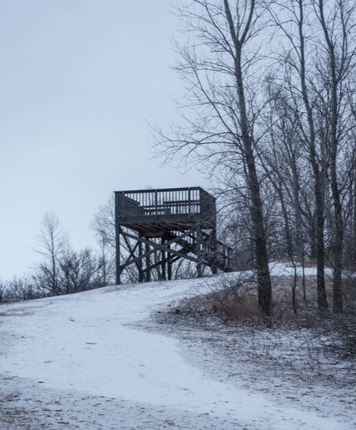
Kiekhaefer Park is a 120-acre county park in Fond du Lac County. Although ledges and ridges are not easily visible, the park exists on part of the Niagara Escarpment. Near the parking lot, and entrance to the park, is a tall hill, and atop the hill a lookout tower. From the tower atop that hill there is a grand view of Lake Mendota off in the near-distance. In winter the view was a wall of white, with a hint of trees along the shores across the lake. In summer, I expect, an even more spectacular, more colorful view. The walking trails were easy to traverse, particularly with just a dusting of snow, although there are some steep hills. There are approximately 3 miles of trails in the park. Daylight was fading, or we would have veered off to walk through the wooded areas, they looked peaceful and lovely. With its beautiful woodlands, winding trails, and proximity to Lake Mendota, Kiekhaefer Park should be a great bird watching location, too. Location: W4235 Kiekhaefer Parkway, Fond du Lac, WI (Fond du Lac County) |
|
HOBBS WOODS NATURE AREA - Fond du Lac (Fond du Lac County)
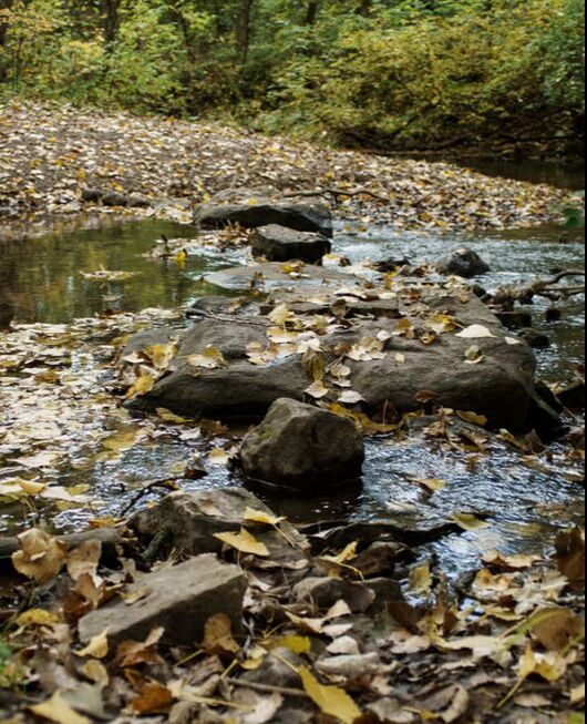
Hobbs Woods is a 60-acre Fond du Lac County park and nature area about three miles south of the city. There are approximately three miles of trails that wind through the woodlands, creek, and surrounding prairie. The outer trails are mostly easy going, but the inner trails, that wind along the path of Parsons Creek, are a little trickier to maneuver, mainly due to mud, creek runoff, and a few steep dips in the terrain. Your boots will get muddy and wet, but it's manageable. There are multiple boardwalks and a bridge along the way that pass over the creek, and provide some truly scenic views in all directions. The creek itself curves along, flowing over large rocks, past fallen tree trunks, and was decorated with colorful autumn leaves. Once known as a prime local destination for trout anglers, work is being done to restore trout to this precious resource. Water that seeps from local Niagara Escarpment Ledge rock feeds the creek. The Escarpment, even the parts of it that are not visible, are found throughout Fond du Lac County. Location: N4197 Hickory Road, Fond du Lac, WI (Fond du Lac County) |
|
LIME KILN PARK - Menomonee Falls (Waukesha County)
Lime Kiln Park surrounds the original falls of the Menomonee River, and the remnants of the Garwin Mace Lime Kilns, which operated on the site in the late 19th century. The Niagara Escarpment runs through the park. You can see the rock formations as they rise up on either side of the flowing river, though the actual cliffs of the escarpment are buried beneath the ground here. This 19-acre park features multiple walking trails with bridges for viewing the river, and plenty of benches to sit and take in the view. The park is part of the Menomonee Falls Historic Walking Tour, and is on the list of National Historic Places: Wisconsin. It's also a wonderful birding spot during spring and fall migration seasons. Location: South of Main Street and east of Appleton Avenue. Menomonee Falls, WI (Waukesha County) |
|
PENINSULA STATE PARK - Fish Creek (Door County)
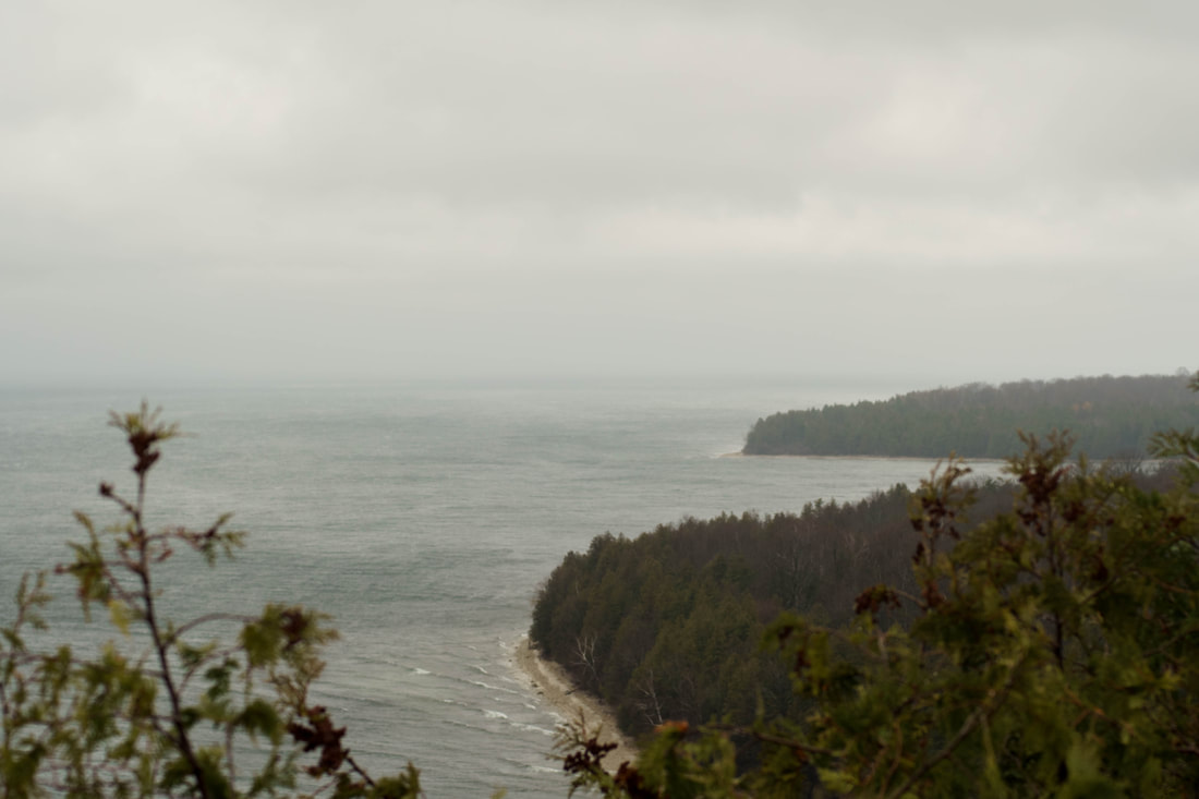
Peninsula State Park is a prime Door County example of the Niagara Escarpment. There are two main features - Sven's Bluff, and Eagle Tower. Sven's Bluff Overlook offers extraordinary views of Green Bay and its coastline. Take in the gorgeous views by climbing to Sven's Bluff through rolling terrain using the Skyline Trail in Peninsula State Park. Watch for stone fences and open meadows, which are remnants of long ago farms. Eagle Tower is a 60-foot high tower on the peninsula's northeast shore, that features an observation deck at the top with inspiring views of the park, the surrounding islands, the upper Michigan shoreline, and the village of Ephraim. If the idea of climbing the 100 steps from bottom to top leaves you breathless, there is a more accessible, and incredibly scenic option. Take the 850-foot fully accessible boardwalk ramp from bottom to top. The angle of the ascending slope is never more than 5%, and makes it passable for wheelchairs, strollers, walkers, and hikers alike. There are level landings and benches for resting, and photo ops, along the way as well. I was intrigued by the ramp for two reasons: I have difficult knees, and the view as you climb the ramp is like walking among the treetops. Not something you get to do every day. Location: 9462 Shore Road, Fish Creek, WI (Door County) |
|
|
CAVE POINT COUNTY PARK - Sturgeon Bay (Door County)
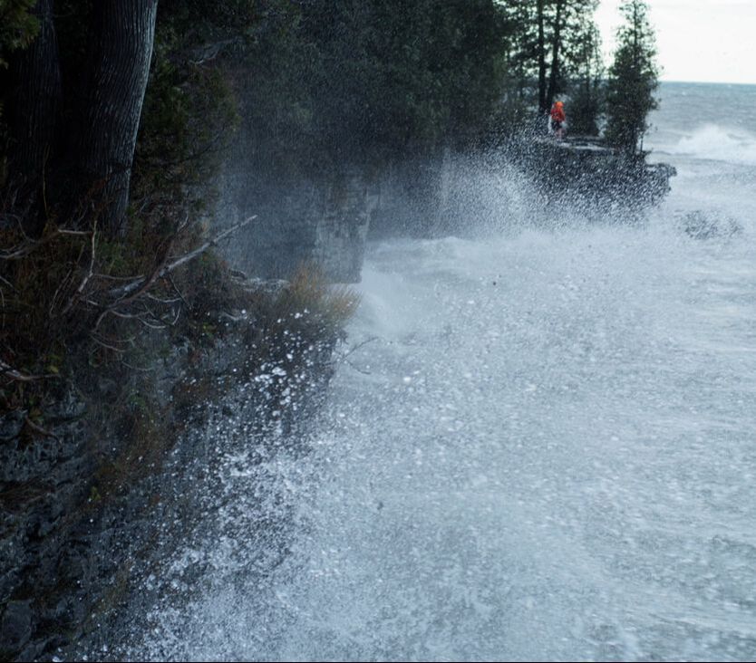
Cave Point, like other parks and shorelines in Door County, is part of the Niagara Escarpment. The cliffs and ledges at the park are not just scenic, but jutting, big, sturdy, and ancient. The park is known for tall ledges, underwater caves, and stunning views of Lake Michigan. It's popular with locals and visitors alike as Lake Michigan waves race towards the cliffs and crags, busting up against the rock and splashing well over the top of 20-foot cliffs, spraying anyone standing nearby. Between the mist, the rain, the wind, and the spray of the waves, it's nearly impossible not to get wet. But it's fun! A half-mile walking trail stretches through the forest of birch maple, and beech trees, and meets up with three trails in the adjoining Whitefish Dunes State Park. Location: 5360 Schauer Road, Sturgeon Bay, WI (Door County) |
|
POTAWATOMI STATE PARK - Sturgeon Bay (Door County)
Potawatomi State Park is large, 1200 acres, and the drive along the roads that wind through the park is especially scenic. The bluffs rising from the waters of Lake Michigan, along the shores of Potawatomi State Park, are part of the Niagara Escarpment. Among the plants, trees, and dense forest of the park, are a multitude of wildlife. The park is home to deer, racoon, fox, and more. Over 50 species of birds nest in the park, with over 200 species recorded in the park as migrants or residents. There are about 9 miles of hiking trails in the park, in addition to fishing, kayaking, boating, canoeing, and bicycling trails as well. If you're camping, there are a total of 123 campsites, including four group sites. A fully accessible cabin is also available for rent. Location: 3740 Cty Hwy PD, Sturgeon Bay, WI (Door County) |
|
NOTABLE LINKS AND SOURCES FOR INFORMATION ABOUT THE NIAGARA ESCARPMENT
WILEDGE - Wisconsin's Niagara Escarpment Geoscience Wisconsin - Volume 22 - Niagara Escarpment Overview Destination Door County - Niagara Escarpment Exploring the Wisconsin Niagara Escarpment - WPR Program Fond du Lac County Niagara Escarpment Niagara Escarpment New Wine Region Green Bay Press Gazette Escarpment Feature UWGB - Niagara Escarpment on Campus Check out this great drone video of Wisconsin Niagara Escarpment highlights created by the Niagara Escarpment Resource Network.
Get to know the Niagara Escarpment in Door County in this video by Destination Door County --->
|
For a preview of the Niagara Escarpment corridor in Canada, check out this video by The Blue Mountains Public Library.
|

